Sale!
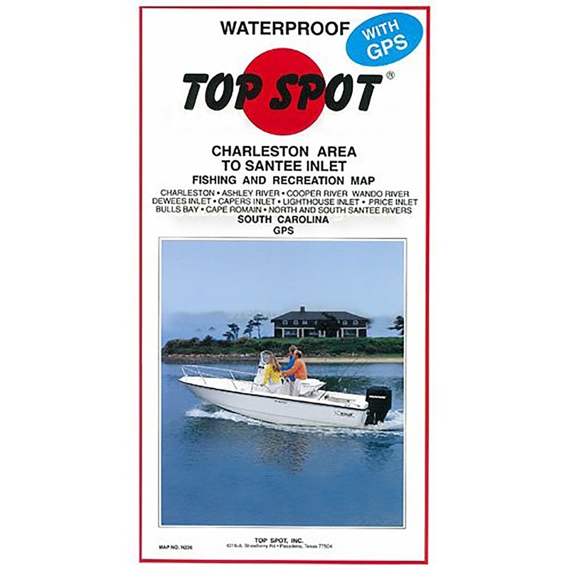
Top Spot Fishing Map N236, Charleston to South of Georgetown
$15.59
$25.99
Lighthouse Inlet to North and South Santee Rivers, South Carolina. Top Spot Fishing Maps are waterproof and include best fishing times, the best habitats and underwater structure. Detailed information and GPS coordinates are provided for fishing locations,
Lighthouse Inlet to North and South Santee Rivers, South Carolina. Top Spot Fishing Maps are waterproof and include best fishing times, the best habitats and underwater structure. Detailed information and GPS coordinates are provided for fishing locations, boat ramps, marinas and other points of interest. 2 sides, full color fishing and diving recreation map.
Related products

SCALES Hooks Face Wrap Black
$9.00
$15.00
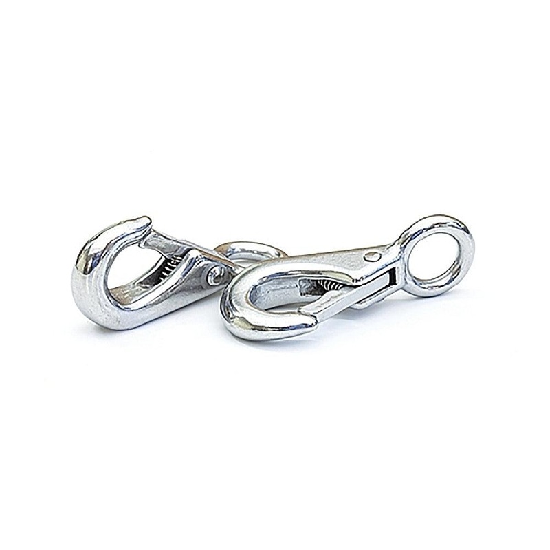
Tigress Pair Of 316 Stainless Snaps
$15.59
$25.99
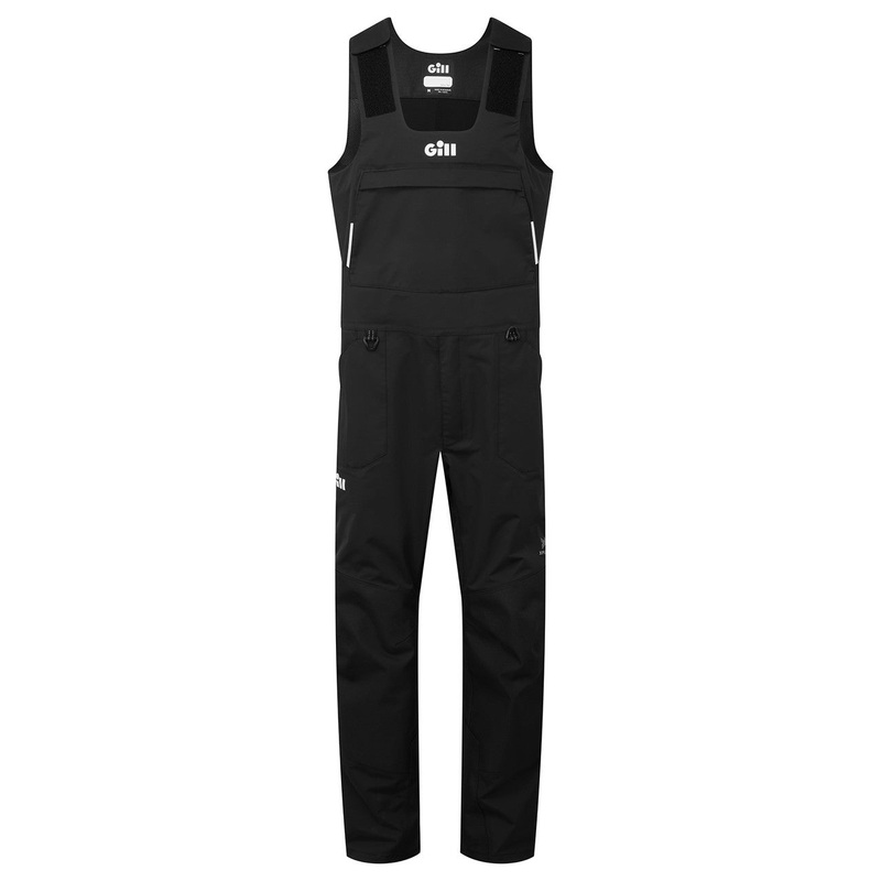
Gill Apex Pro-X Bib Black Small
$127.50
$425.00
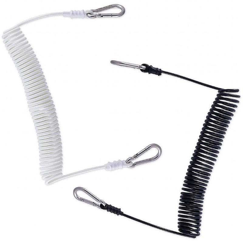
Diamond Safety Leash 10FT Black
$17.99
$29.99
Reviews
There are no reviews yet.